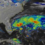
A Preseason Tropical Storm Could Form Off The Florida Coast This Weekend


This year’s Atlantic hurricane season could start early for the sixth year in a row. A tropical disturbance moving through the Florida Straits has a high likelihood of developing into a tropical or subtropical storm off Florida’s east coast on Friday or Saturday. While it’s likely that the system will stay offshore, it’s still too early to say what—if any—impacts we could see in the United States from the potential storm.
Bubbling Disturbance

The disturbance is slowly moving northeast across the Florida Straits tonight. Radar imagery out of Key West shows broad rotation within a disorganized batch of showers and thunderstorms. The system should move over The Bahamas by Friday morning, where the disturbance could produce several inches of rain through the weekend.
Forecasters at the National Hurricane Center give the disturbance an 80 percent chance of development through the weekend, and it’s likely we’ll have a full-fledged tropical or subtropical storm come Saturday night.
The system—which would earn the name Arthur—will encounter favorable conditions for organization and strengthening once it clears the Florida Peninsula to the east. The disturbance will move through an environment with relatively light wind shear, as well as the moisture and warm waters (it’ll be over the Gulf Stream!) necessary to sustain thunderstorm development.
Impacts
 |
| Source: WPC |
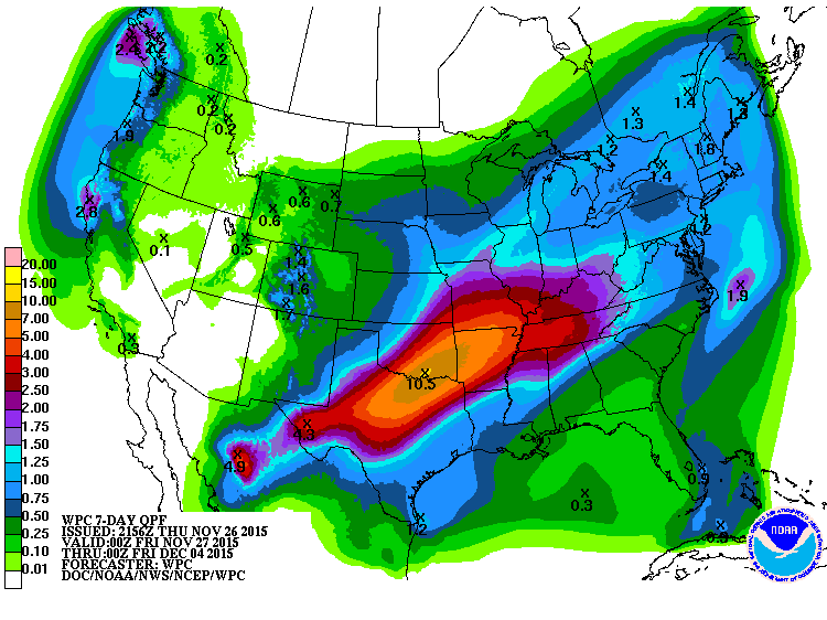
It’s likely the system will remain out to sea for the duration of its life cycle, but it’s close enough to the coast that anyone from Florida to New England should watch it carefully and prepare for heavy rain or power outages if it changes direction.
Here are the impacts we’re likely to see as things stand right now:
—Heavy rain will affect southeastern Florida and The Bahamas. Several inches of rain could lead to flooding in vulnerable areas if heavy rain occurs in a short period of time.
—Rough seas and rip currents are likely up and down the southeast coast as this storm strengthens. The stronger the storm, the greater the likelihood for dangerous waves and rip currents.
We’ll have a clearer understanding of its impacts once the system develops and forecasters and models get a better handle on its structure and surroundings.
Tropical vs. Subtropical
This system could exist as a subtropical depression or subtropical storm for at least a portion of its life. A subtropical cyclone is a low-pressure system that exhibits characteristics of both tropical and non-tropical lows. A subtropical cyclone isn’t fully tropical, but it’s just tropical enough—and brings the same impacts—that it deserves a name and the full treatment from the National Hurricane Center.
A tropical cyclone consists of a tight-knit cluster of thunderstorms wrapped around a center of low pressure. These thunderstorms act as the engine that allows the storm to maintain itself and strengthen. A tropical cyclone has an intense core of winds that gradually decreases in intensity with distance from the center of the storm. Temperatures throughout a tropical cyclone are uniformly warm throughout the system.
A subtropical cyclone can see its main cluster of thunderstorms develop many dozens of miles from the center of the storm, giving it a severely lopsided appearance on satellite and radar imagery. Most subtropical storms derive at least some of their energy from upper-level winds rather than solely from those thunderstorms. Subtropical systems also have some cold air wrapped up in the core of the system. These systems can (and often do) transition to fully tropical cyclones if they’re in a favorable environment.
The differences between tropical and subtropical are mostly academic. The messaging and impacts are largely the same no matter what you call the system, so subtropical systems should be treated the same as any other named system.
Six Preseason Seasons In A Row

We’re poised to see the the sixth Atlantic hurricane season in a row that saw its first named storm develop before the “official” start of hurricane season. The chart above shows all the preseason storms we’ve seen since 2003.
Atlantic hurricane season runs from June 1 to November 30. As we’ve seen this year, last year, the year before that, the year before that, the year before that, and one more year before that, these dates are somewhat arbitrary. Hurricane seasons are based on a mixture of climatology and the simple fact that the first day of June and last day of November are cute cutoff points for messaging purposes.
The concept of a preseason storm is almost entirely an Atlantic Ocean phenomenon. Preseason storms happen here from time to time but they certainly seem more common than they used to be. It’s still unclear whether this is a function of more favorable environments for storms in May, a better ability to detect wayward storms, or looser qualifications for naming/advising on storms.
You can follow me on Twitter or send me an email.
Please consider subscribing to my Patreon. Your support helps me write engaging, hype-free weather coverage—no fretting over ad revenue, no chasing viral clicks. Just the weather.