We’re at the peak of Atlantic hurricane season. What’s next?

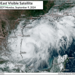
September 10 is the climatological peak of hurricane season in the Atlantic Ocean. This is the day with the greatest odds of having at least one named storm somewhere in the Atlantic basin—and, true to form, we’ve got a hurricane brewing in the Gulf of Mexico.
It’s clear that this year isn’t going to live up to expectations of a hyperactive hurricane season. But that doesn’t mean we should let our guard down. Here’s what we could expect from the second half of hurricane season ahead.
All signs pointed toward a bustling basin

The field’s leading experts almost unanimously called for an extremely active hurricane season this year.
An average Atlantic hurricane season would see 14 named storms, seven of which would strengthen into hurricanes, and three of those turning into major hurricanes. NOAA called for 17-25 named storms this season, while the good folks over at Colorado State University expected about 23 named storms this year.

Why so bullish? Everything seemed to be aligning just right. We’re in between El Niño and La Niña right now. An active monsoon season across sub-Saharan Africa should’ve led to more disturbances that could seed the development of tropical systems.
On top of all that, sea surface temperatures across the Atlantic have been near historic highs for over a year now. Those sultry ocean waters helped power an above-normal hurricane season last year despite the odds against it.
Things haven’t panned out as expected
The atmosphere is complicated. Meteorology, for all its incredible advances over the years, is still an inexact science. There’s plenty that even the leading minds in the field are still working to understand about the intricate links between every aspect of our skies above.
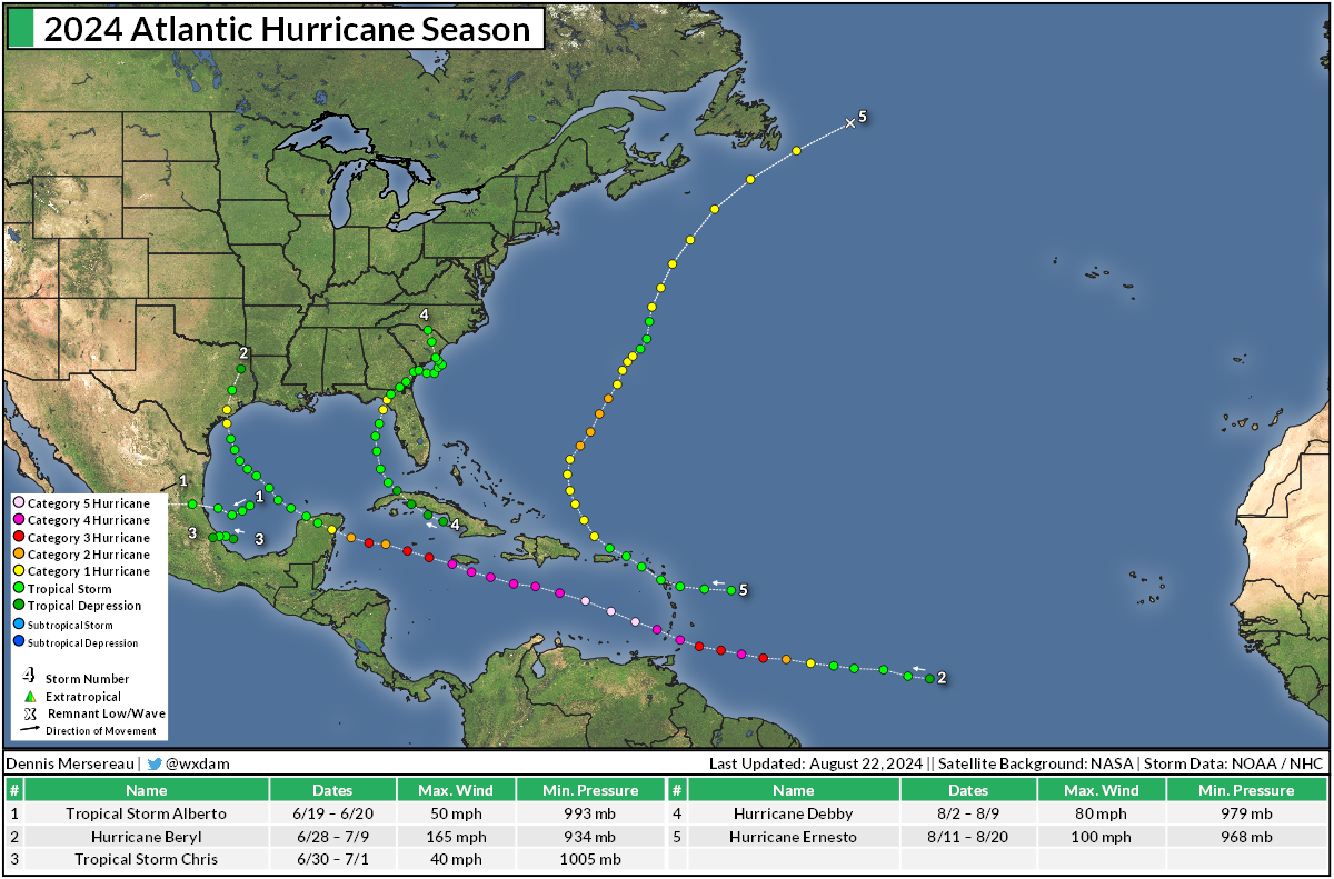
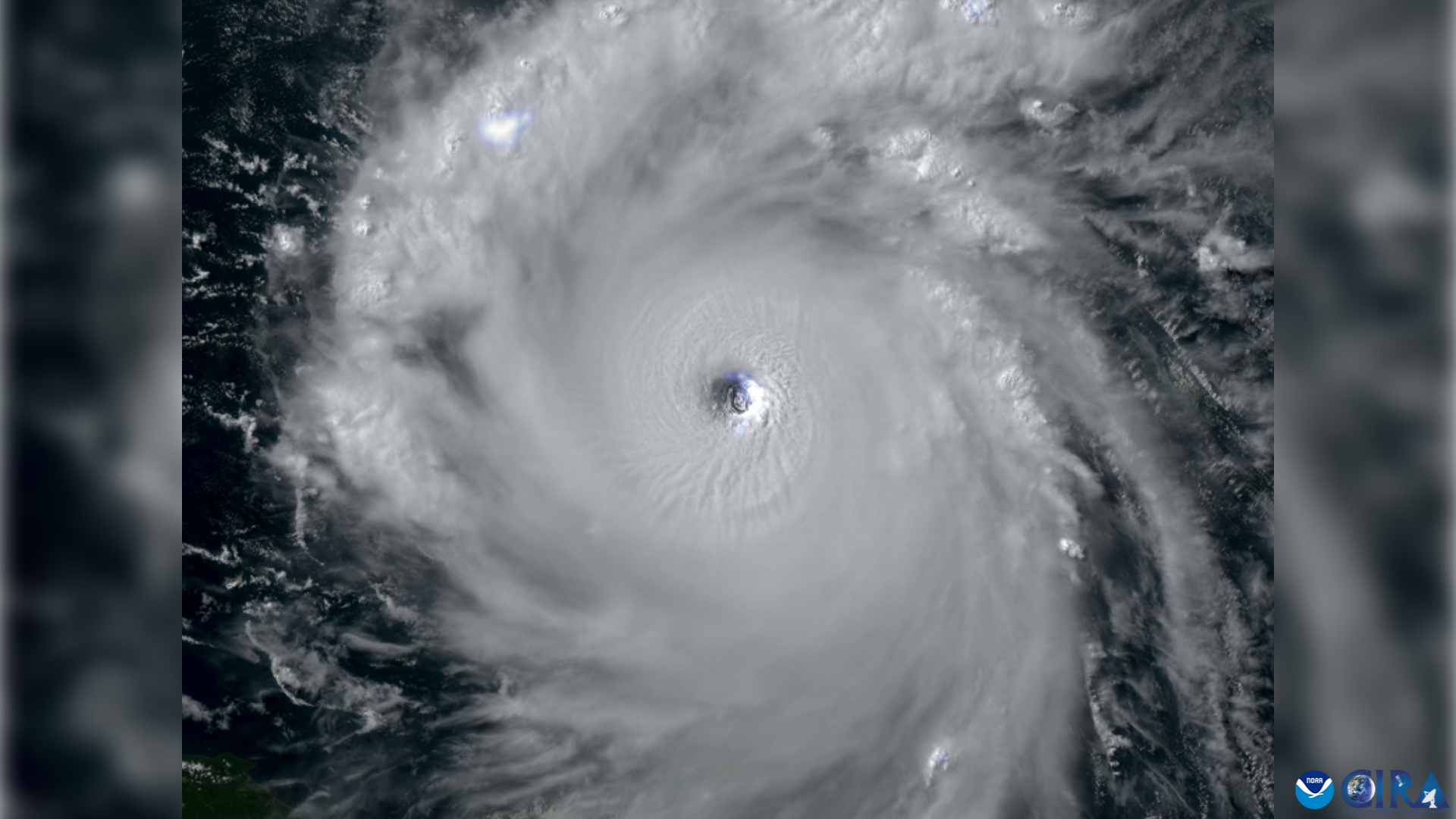
Despite all the ingredients seemingly coming together for a blockbuster hurricane season, it’s been…well, not that. Hurricane Beryl showed us what those hot sea surface temperatures are capable of when it roared into a category five storm in early July. Since then, though, we’ve only seen a smattering of named storms.
Francine, which is gathering strength in the Gulf as of this post, is only the season’s sixth named storm. If projections remained on track, we should’ve seen twice as many storms form by the peak of the season.
Lots of factors contributed to this unexpected lull in hurricane activity. I wrote a bit about it for The Weather Network a couple of weeks ago:
[…] You can’t bake a sweet cake with just flour. Water temperatures are just one part of the equation that plays into the formation of a vigorous tropical cyclone. This precise mix of ingredients includes moist air, calm wind shear, and vigorous thunderstorms that serve as the seed from which a hurricane grows.
Those ingredients have been a little bit out of step this season. Monsoon rains in sub-Saharan Africa have been travelling farther north than usual—bringing rare rains to the desert while missing key windows to seed tropical disturbances over the Atlantic. We’ve also seen intrusions of dry, dusty air puffing off the desert itself, as well as a general lack of instability over the tropical Atlantic.
The dangers of a “quiet” season
If you follow any meteorologists on social media, you’ve probably seen a lot of this introspective chatter over the past week. But Francine highlights the danger of banging away at this being a supposedly quiet season: it only takes one storm to make a mess.
An example I frequently use is the 1992 hurricane season. That was a below-normal hurricane season that didn’t produce its first named storm until the end of August. That storm was Hurricane Andrew. That’s not to say we’re going to see anything close to a repeat. But this season has already proven what it’s capable of in Hurricane Beryl’s rapid intensification over the Caribbean.
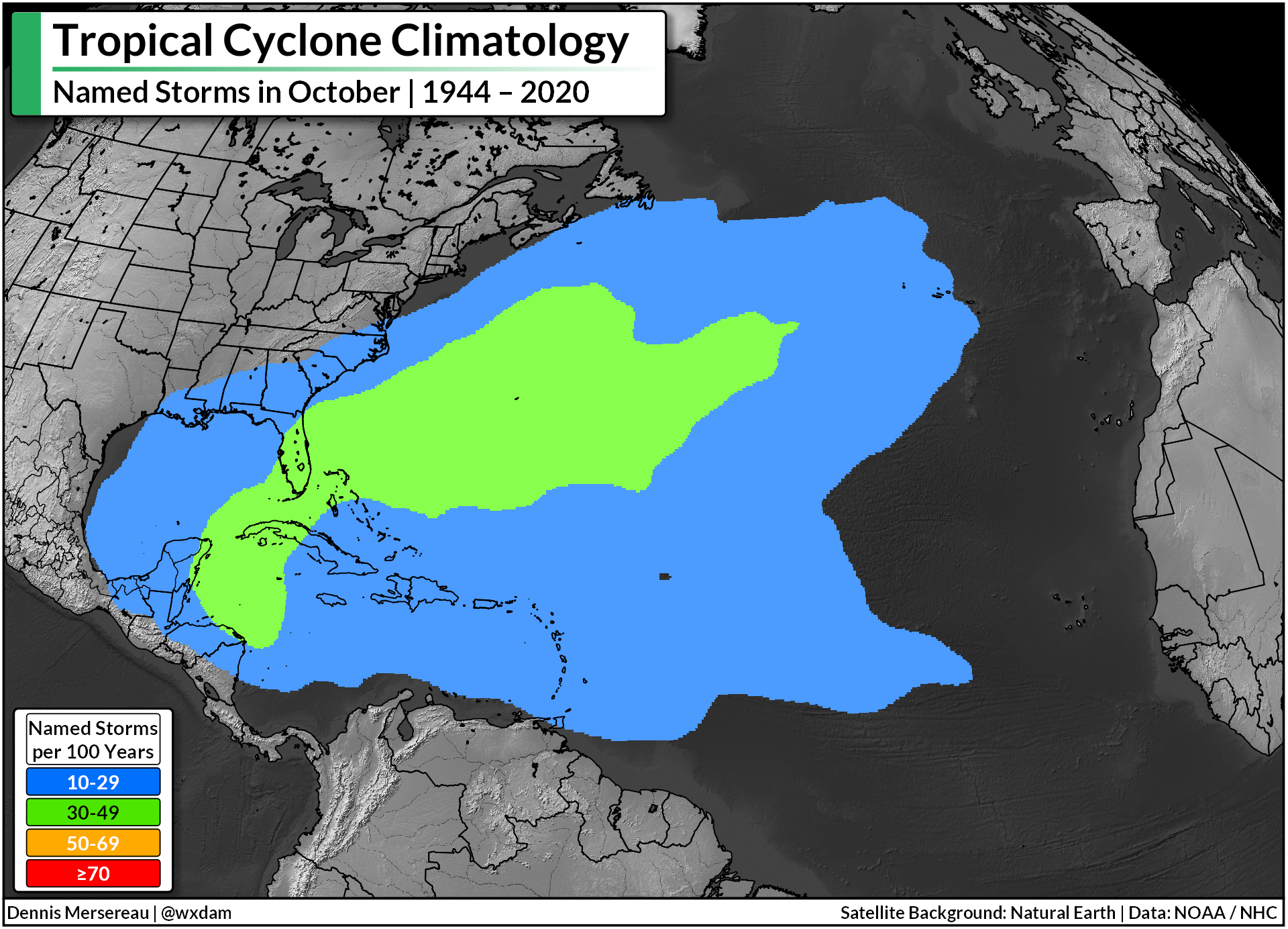
Storms toward the latter half of hurricane season tend to form closer to land, reducing the amount of time residents have to react and prepare for a storm’s arrival. Look at Francine in the Gulf—if anyone in Louisiana tuned out the weather over the weekend, they were probably shocked by the hurricane warning that hit their phone last night.
Folks throughout the southern and eastern United States need to remain prepared for dangerous storms well into November. Even though this season isn’t going as expected, we’ve got a long way to go before the basin shuts down for the winter. September and October have a long history of nasty storms swirling ashore.
Make plans to deal with dangerous weather, including potential evacuations, flooding from heavy rainfall, and even tornadoes as storms push inland. Make sure you’ve got an emergency kit ready for power outages that could last days—even far inland from where a storm might make landfall.
[Satellite image of Beryl courtesy of RAMMB/CIRA]

Follow me on Facebook | Bluesky |
Threads | Instagram | Twitter
Threads | Instagram | Twitter
Get in touch! Send me an email.
Please consider subscribing to my Patreon. Your support helps me write engaging, hype-free weather coverage—no fretting over ad revenue, no chasing viral clicks. Just the weather.