El Niño could dictate this year’s hurricane seasons, but it’s not a sure thing
NOAA recently released its outlooks for the 2026 hurricane seasons across the Atlantic, eastern Pacific, and central Pacific basins.
The outlooks are in line with forecasts of a strengthening El Niño pattern heading into the upcoming summer and fall months, though there’s a significant dollop of uncertainty surrounding the Atlantic’s forecast.
Conditions are rapidly changing in the eastern half of the Pacific Ocean where an El Niño is expected to build over the coming weeks and months. Water temperatures are already warming up, and there’s a significant pool of very warm water lurking just beneath the surface.

Tropical cyclone tracking around North America is divvied up between three basins: Atlantic, eastern Pacific, and central Pacific.
Hurricane season in the eastern Pacific runs from May 15 through November 30, with the six-month period running from June 1 through November 30 over in the Atlantic basin.
NOAA’s outlook calls for above-normal activity this season across both the eastern and central Pacific, while forecasters expect a below-normal storm count over in the Atlantic.
Why the split call? The abnormally warm waters of an El Niño event affect these basins in different ways.

El Niño years typically see favorable conditions for tropical cyclones in the eastern and central Pacific basins, given warm waters and otherwise agreeable atmospheric setups.
The same unsettled weather that makes the Pacific favorable for development can send destructive wind shear blowing east over the Atlantic, making that basin frequently hostile to tropical systems.
That said, NOAA noted that there’s greater uncertainty in the Atlantic’s forecast given the warmer-than-normal waters and increased potential for disturbances across the basin. This may lead to more opportunities for systems to pop up across the region.
Don’t let your guard down if you live near the Atlantic coast. No matter what the forecast holds, it only takes one storm hitting land to make this a bad season for communities in harm’s way.
How quickly can things change?
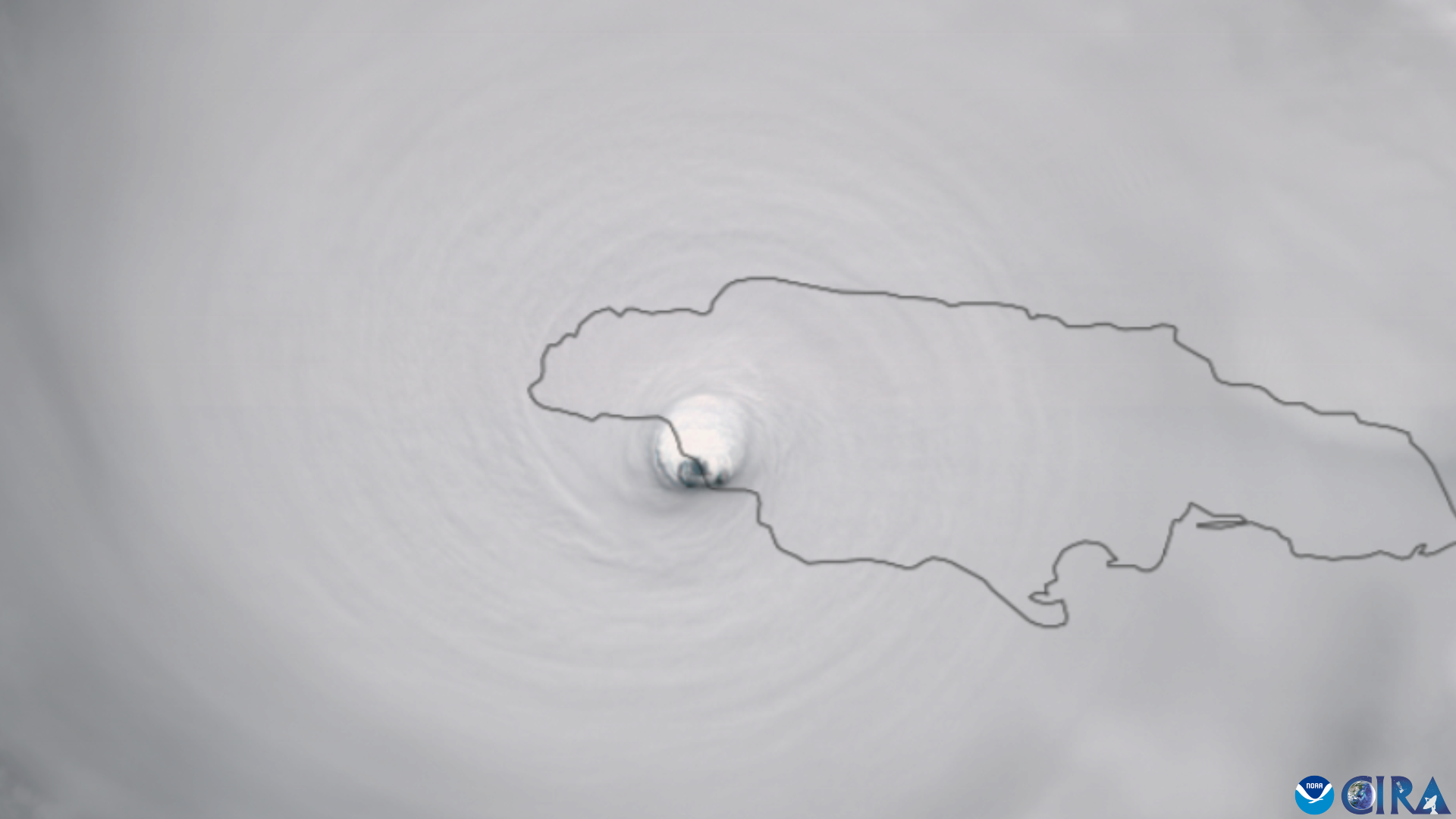
The 1992 hurricane season was extremely quiet. The first named storm of the year didn’t form until the end of August.
It was Hurricane Andrew.
[Satellite image courtesy of CIRA Satellite Library.]
Follow me on Facebook | Bluesky | Instagram
Get in touch! Send me an email.
Please consider subscribing to my Patreon. Your support helps me write engaging, hype-free weather coverage—no fretting over ad revenue, no chasing viral clicks. Just the weather.


