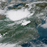
Spring Was a Lovely Week and Now It’s Time to Deal With Summer


Did you enjoy spring? I had a pretty good week, too. The patterns quickly shifted gears late last week and it looks like we’ve started on June’s greatest hits a little early this year. We’re talking tropical weather outlooks, severe storms influenced by a ridge of high pressure, and an unrelenting slog of warm, wet weather. Lovely.
The Tropical Cyclone Thing That Wasn’t
The National Hurricane Center kept watch over a sad sack of clouds over the eastern Gulf of Mexico for signs of tropical development earlier this week. The system had the chance to organize itself into a subtropical or tropical entity, but it couldn’t take advantage of marginally-favorable conditions in time to develop into much of anything.
Even without the name and shiny cone of uncertainty, the disturbance has brought heavy rain to the southeast and the rain will keep falling up the coast through the weekend. The system’s impacts would’ve been the same with or without a name.

It looks like we might make it to the end of May without a named system for the first time since 2014. It’s not too unusual to see a named system develop before the official start of the Atlantic Hurricane Season on June 1. It happens once every couple of years. In fact, the past three years have all seen storms develop early.
2017’s Tropical Storm Andrea formed in May. A freak hurricane formed in January 2016 and the year’s second named storm (Bonnie) came around in May. Tropical Storm Ana formed in May 2015. These early-season storms are usually on the weaker side, but they can produce prolific rainfall if they form near the coast.
(*”S.T.S” on the above map stands for subtropical storm. The distinction between “tropical” and “subtropical” is interesting if you’re into that sort of thing.)
Bermuda High
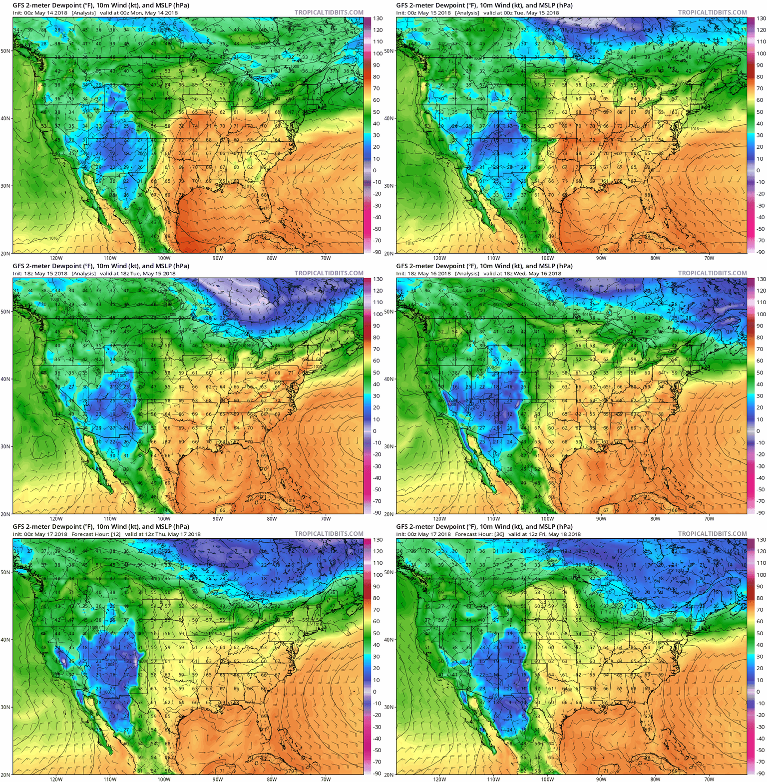
The polar jet stream has mostly retreated to northern Canada for the time being, which means that the majority of our weather in the United States over the past few days has been driven by smaller-scale features like the Bermuda High and the subtropical jet stream over the southern United States and Mexico.
The Bermuda High, a strong high-pressure system over the western Atlantic, opened the pipeline for warm, moist air from the Caribbean and Gulf to overspread much of the eastern and central United States. The heat we saw last weekend broke in favor of a cooler but muggier and wetter pattern. It’s positively swampy out there in the southeast right now.
The animation above from Tropical Tidbits shows an analysis of surface dew points beginning on the evening of Sunday, May 13, and ends with the model’s forecast for dew points on Friday, May 18. The wind barbs and isobars show the high over the western Atlantic and trough over the Gulf pumping a steady stream of tropical air over the eastern half of the country.
Showers and thunderstorms associated with the aforementioned tropical disturbance and small disturbances approaching from the west will continue to be a regular feature over the next couple of days.
The storms are widespread but hit-or-miss in their nature. It’s hard to say in advance who will get poured on and who will be spared. If you get caught under one of those pop-up storms, high precipitable water values (a measure of the moisture in the atmosphere) will mean that heavy rain that sticks around over one spot for too long could lead to flash flooding.
Flooding

Flooding has been a serious issue. Forecasters had to issue a flash flood emergency in Frederick, Maryland, on Tuesday night due to storms that dropped up to five inches of rain in a short period of time. The same squall line that blasted the Northeast with wind gusts up to 80 MPH on Tuesday afternoon kept going into the Mid-Atlantic after sunset. Thunderstorms associated with the squall line began training over northern Maryland, leading to life-threatening flash flooding that required several high-water rescues.
More heavy rain will overspread the Mid-Atlantic through the end of the week, leading to the potential for more flash flooding. The latest from the Weather Prediction Center indicates the potential for five or more additional inches of rain across the Mid-Atlantic—centered on the D.C. area—over the next seven days.
You can keep track of the threat for flash flooding by checking in with your local National Weather Service office and the Weather Prediction Center.
Severe Thunderstorms

The Mid-Atlantic and Northeast have taken the brunt of the nation’s severe weather since last Thursday. There were more than 1,500 reports of severe weather between the morning of May 10 and the morning of May 16. A rather sharp stationary front across the Ohio Valley and Mid-Atlantic often served as the focus for the severe weather across the east.
In fact, you can even see the influence of the ridge of high pressure just by looking at the pattern of severe weather reports over the past week. Most of the storms occurred around the periphery of the ridge while those under the high were mostly spared save for a few rogue storms.
The threat for severe weather through the end of this week will move back to the Plains, where places like western Nebraska and northeastern Colorado could see severe thunderstorms produce damaging winds, large hail, and possibly a tornado or two. That doesn’t rule out the potential for an occasional damaging wind gust or round of hail in the more vigorous storms that form out east.
[Maps: Dennis Mersereau | Model Animation: Tropical Tidbits]