Significant Flash Flooding, Intense Winds Likely As Sally Heads Toward Northern Gulf Coast


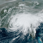
Tropical Storm Sally will likely strengthen into a hurricane as it crawls toward the northern Gulf Coast over the next 36 hours. Forecasters expect a slow-moving hurricane to approach land Monday night. Strong winds and heavy rain will overspread Louisiana, Mississippi, and Alabama overnight Monday and through the day on Tuesday as the center of the storm approaches landfall.
Intense winds could knock out power for hundreds of thousands of people. A life-threatening storm surge at the coast and prolific rainfall along the storm’s track will make flooding this storm’s most dangerous hazard.
The Setup
Sally formed from a disturbance over The Bahamas late last week. The system moved over southern Florida on Friday and brought prolific rainfall to the Florida Keys. Key West measured 9.37″ of rain on Friday alone, marking the city’s third-highest one-day rainfall total in records dating back to 1948.
This tropical storm is moving over the steamy waters of the Gulf of Mexico at the climatological peak of hurricane season—it’s not much of a surprise that the system is expected to attain hurricane strength by the time it makes landfall.
 |
| Source: NOAA |
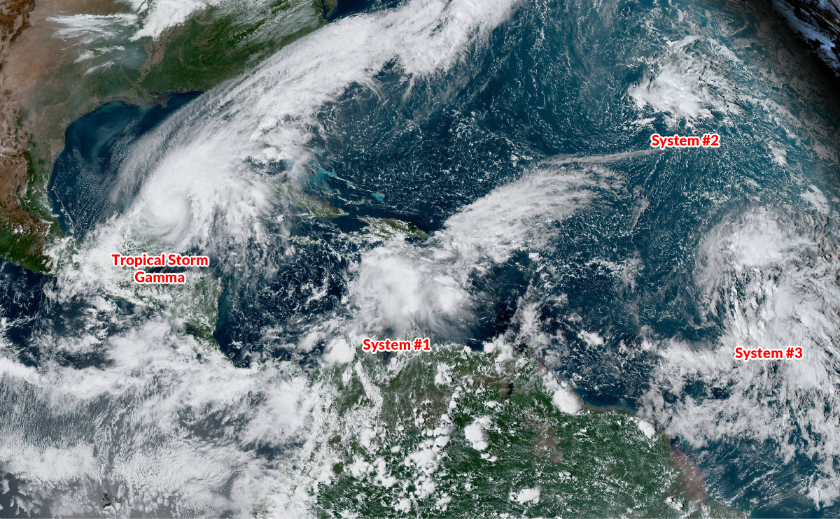
Tropical Storm Sally’s structure struggled today as it fought against some northwesterly wind shear. The center of circulation spent most of Sunday exposed or nearly exposed, with the heaviest thunderstorm activity sheared off toward the eastern side of the cyclone. The storm is starting to consolidate around its center of circulation, the first step toward strengthening. Forecasters expect the system to reach land as a hurricane on Monday and Tuesday.
Sally is moving into an environment without strong winds to steer it along in a hurry. Much of the United States is covered by an upper-level ridge, resulting in light winds throughout the atmosphere across the southern half of the United States. The thunderstorms around the center of a tropical cyclone act like a sail that catches atmospheric winds and steers the storm along. Storms can crawl along or even stall out without sufficient winds to move them poleward.
As a result, Sally will spend the next 36-48 hours just kind of puttering along until it makes landfall along the northern Gulf Coast. After that, the upper-level environment should allow Sally (or its remnants) to start moving across the southeastern states toward the Atlantic by the end of the week. There’s a chance that this system lingers in the southeast through the end of the week, which could exacerbate flash flooding issues.
A slow-moving hurricane moving into a sensitive stretch of coastline is enough to cause anyone in the region some heartburn. Here’s what to expect as Sally approaches over the next few days.
Wind
Forecasters expect Sally to make landfall as a hurricane. Strong winds will knock down trees, create long-lasting power outages, and damage buildings. Flying debris, shattering windows, and failing roofs could be serious threats to folks in the path of the storm.
Strong, damaging winds could last for an extended period of time given the expected slow forward motion of the storm. A long-duration wind event will add even more stress to trees, buildings, and power lines.
Falling trees and tree limbs are a serious threat to motorists and folks at home. If you live near tall trees or tree limbs that could fall into the house/apartment/wherever, it’d be a good idea to sleep or stay in another room during the strongest winds. Lots of people are injured and killed during high wind events as a result of trees falling into homes.
Widespread power outages will result from sustained hurricane force winds. It’s likely that power outages will last a week or longer in the hardest-hit areas. If you live in the region, the latest you can prepare for power outages is Monday morning. Make sure you’ve got enough ready-to-eat food, drinks, and batteries to last an extended power outage.
Storm Surge
 |
| Source: NHC |
A life-threatening storm surge is a risk in any landfalling hurricane, especially one that’s hitting such a sensitive stretch of coastline. The National Hurricane Center’s latest forecast calls for a maximum potential storm surge of 7 to 11 feet along portions of Louisiana and Mississippi expected to be under or near the center of the storm. A surge of 4 to 6 feet is possible in Lake Pontchartrain, and several feet of storm surge is possible along the coasts in Mississippi and Alabama.
The map above from the NHC shows a generalized version of their maximum potential storm surge forecast. These values will change as forecasters refine Sally’s track and intensity.
Much of New Orleans sits below sea level. The city is protected by a large system of levees, floodwalls, gates to keep water out. The system is designed to protect against a “1-in-100 year” storm surge, which is about 15 feet, according to Dr. Jeff Masters in a blog post last year.
The city’s system of rainwater drainage pumps might face a bigger challenge.
Rain

The biggest threat from this storm will be flash flooding from heavy rain. This storm’s ample moisture—combined with its painfully slow forward motion—could lead to a significant flash flooding event across the northern Gulf Coast.
The Weather Prediction Center issued a high risk for flash flooding as the core of the storm moves inland. The agency doesn’t do that lightly—they’ve only issued a high flash flood risk three days in advance during Hurricane Harvey and Hurricane Florence. That should drive home the flash flood potential posed by this storm.
The WPC’s forecast calls for more than 10″ of rain in parts of southeastern Louisiana, southern Mississippi, and southern Alabama, including New Orleans, Gulfport, Biloxi, and Mobile. Some areas could wind up seeing more than 20 inches of rain if an exceptionally nasty rain band gets stuck training over the same areas.
Adjustments in the storm’s track will affect these rainfall forecasts—if the storm tracks to the east of current forecasts, the heaviest rainfall totals will follow.
Flash flooding is responsible for most of the deaths that result from landfalling tropical cyclones, and many of those deaths are the result of motorists attempting to drive across flooded roadways. It takes as little as six inches of water moving across a roadway to lift a vehicle and carry it away. And there’s no guarantee that the road is there at all. Roads can wash out during a flood, and the water can obscure the fact that the road is gone.
Tornadoes
As always—and I feel like a broken record here, putting this same blurb in almost every post for the last few months—tornadoes are a hazard during any landfalling tropical cyclone. The greatest threat for tornadoes will exist along and to the right of the storm’s forward motion. This would put southern Mississippi, southern Alabama, and the western portion of the Florida Panhandle under risk for tornadoes for several days beginning on Monday and lasting until…well, until the storm pulls away.
Tropical tornadoes can occur quickly. Make sure you’ve got a way to receive warnings—check that the wireless emergency alerts on your phone are activated—and take quick action if your location goes under a tornado warning.
You can follow me on Twitter or send me an email.
Please consider subscribing to my Patreon. Your support helps me write engaging, hype-free weather coverage—no fretting over ad revenue, no chasing viral clicks. Just the weather.