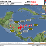
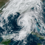
Hurricane Eta Rapidly Intensifies Into A High-End Category Four As It Approaches Nicaragua

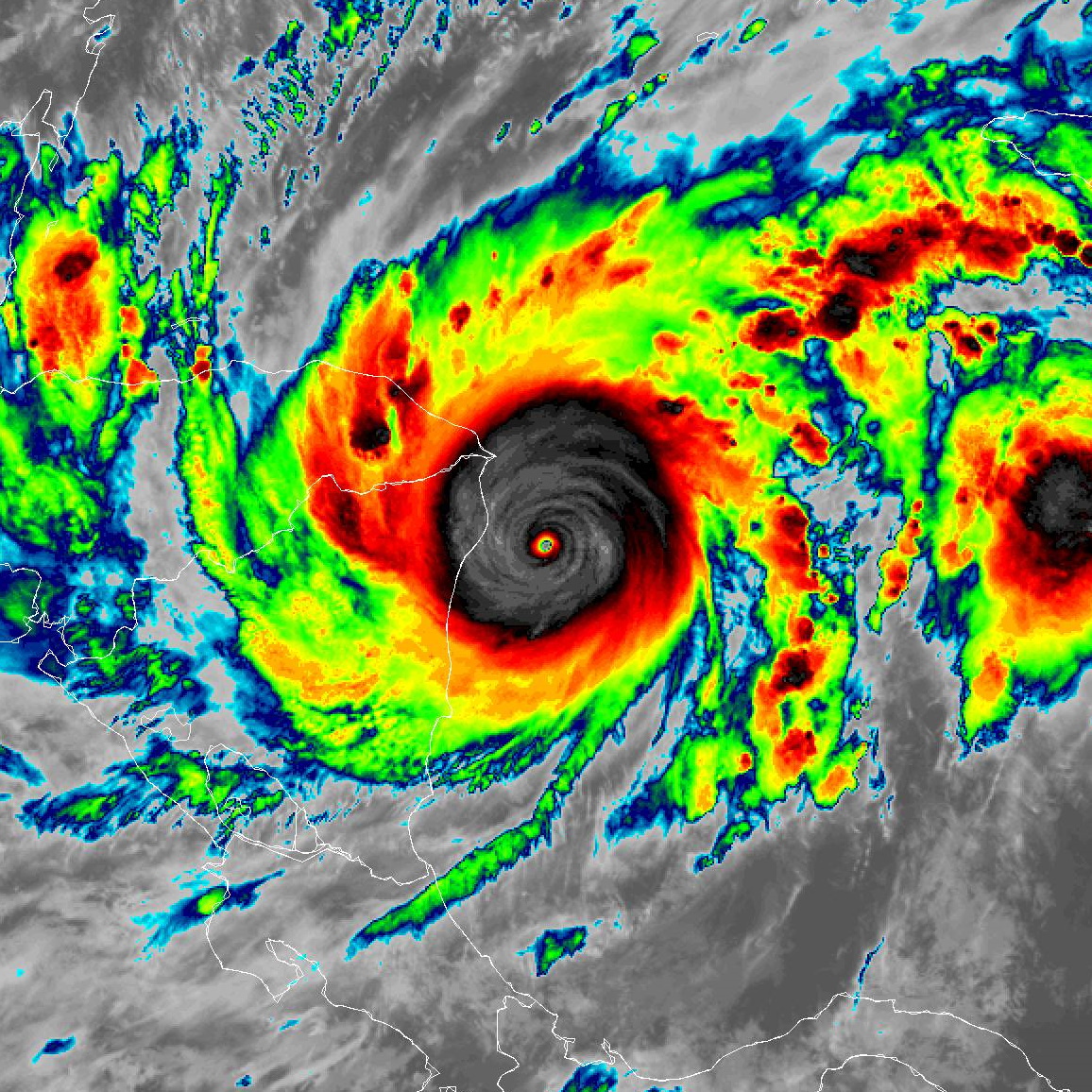
Hurricane Eta rapidly intensified into a powerful category four hurricane in the western Caribbean Sea on Monday, packing maximum winds of 150 MPH as of Monday evening’s advisory from the National Hurricane Center. This was…not anticipated until the strengthening trend had already begun, and now Eta is the strongest storm of the 2020 Atlantic hurricane season.
Satellite intensity estimates place Hurricane Eta in the upper echelon of storms. These automated intensity estimates use cloud patterns and temperatures (on the cloud tops and within the eye) to estimate the strength of a storm. It has a warm eye, a symmetrical and well-insulated core—an “angry wind bagel” as I used to tongue-in-cheekedly call it in a past blogging life—and the all-knowing algorithms consider it about as visually perfect as a hurricane can get.
Aircraft recon flying into the storm Monday night found winds pushing the upper bounds of category four intensity. The official NHC forecast brings the system up to category five intensity before it makes landfall in Nicaragua on Tuesday.
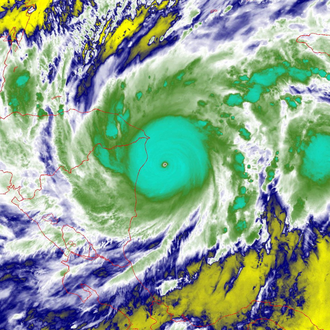
What else can you say? It’s times like this when descriptors and pointing out broken records kinda loses its punch. Eta is the record-tying 28th named storm of the season. Eta is now one of the strongest Atlantic hurricanes ever observed in November. Its sudden and rapid period of intensification puts it up there with…well, pretty much every other hurricane we’ve seen this season, but this storm pushes the upper bounds for the fastest intensification seen in the Atlantic.
Here’s the storm’s wind history, taken from the NHC’s updates every three hours since Saturday night. (All times Eastern.)
1100 PM SAT: 40 MPH / 1005 MB
100 AM SUN: 40 MPH / 1005 MB
400 AM SUN: 40 MPH / 1005 MB
700 AM SUN: 40 MPH / 1005 MB
1000 AM SUN: 50 MPH / 1000 MB
100 PM SUN: 50 MPH / 1000 MB
400 PM SUN: 65 MPH / 992 MB
700 PM SUN: 70 MPH / 989 MB
1000 PM SUN: 70 MPH / 989 MB
100 AM MON: 70 MPH / 989 MB
400 AM MON: 75 MPH / 987 MB
700 AM MON: 90 MPH / 974 MB
1000 AM MON 110 MPH / 962 MB
100 PM MON : 120 MPH / 957 MB
400 PM MON: 130 MPH / 948 MB
700 PM MON: 150 MPH / 934 MB
1000 PM MON: 150 MPH / 927 MB
Meteorologists expected Eta to rapidly intensify given the warm sea surface temperatures and low wind shear surrounding the storm. However, rapid intensification is still very difficult to accurately predict, and it wasn’t clear that this storm was going to explode the way it did until the process was already underway.
This is a terrible development for folks in the path of the storm.

Yesterday—yes, yesterday—the storm looked like it would creep up to hurricane status and become a major flood threat for Nicaragua, Honduras, and El Salvador. That’s a pretty bad situation on its own. The region is poor, geographically primed for major flash flooding and mudslides, and also stricken by the same pandemic as the rest of the world. The potential for flooding alone could have produced a humanitarian catastrophe.
Now this is a different situation altogether. A major, potentially historic storm is knocking on the region’s door. The winds of a high-end category four hurricane will devastate communities with destructive winds and a catastrophic storm surge that could easily inundate one-story buildings near the coastline. And that’s on top of flash flooding and mudslides from several feet of heavy rain.
As I mentioned last night, landfall isn’t the end of this system. We have to watch what it does by the end of the week. Eta could regenerate into a tropical storm in the western Caribbean. Don’t let your guard down if you live along the U.S. coast. Hurricane season isn’t over yet.
[Satellite imagery from NOAA. Top image is infrared and the bottom image is water vapor.]
You can follow me on Twitter or send me an email.
Please consider subscribing to my Patreon. Your support helps me write engaging, hype-free weather coverage—no fretting over ad revenue, no chasing viral clicks. Just the weather.