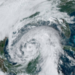
Tropical Storm Eta, Historic 28th Named Storm Of 2020, Threatens Central America This Week


Tropical Storm Eta could strengthen into a hurricane before making landfall in Central America later this week, bringing damaging winds and flooding rain to parts of Nicaragua, Honduras, and El Salvador. The storm’s slow movement will lead to widespread flash flooding across a mountainous region that’s exceptionally vulnerable to flash flooding and mudslides.
Models have signaled for a while that the Caribbean would be favorable for tropical development around the beginning of November. Just like Zeta last week and Delta before it, Eta formed right about where you’d expect to see tropical systems develop this time of year. The Caribbean is home to the warmest waters and the most favorable atmospheric conditions to support tropical development this late into the season.

Eta will slowly move west toward Central America over the next couple of days. Hurricane conditions are likely in eastern Nicaragua and eastern Honduras on Wednesday as Eta makes landfall. While the wind will damage weaker structures and the electrical grid, the big story from this storm is rain.
Any tropical cyclone making landfall in Central America is a scary prospect because of the region’s heavily mountainous terrain.
The National Hurricane Center‘s latest forecast notes the potential for 15-25 inches of rain in parts of Nicaragua and Honduras, with upwards of three feet (really!) of rain possible in higher elevations. Tropical cyclones are terrible in mountainous regions because the moist winds of a hurricane roaring up the side of a mountain is the atmospheric equivalent of wringing out your washcloth in the shower.
There’s some nervous hesitation about what happens after Eta makes landfall. The most likely scenario, the one depicted by the NHC’s forecast, is that Eta will slowly degenerate over land as the rough terrain takes its toll on the storm’s structure.
There’s a chance that either 1) the storm reemerges into the Caribbean later in the week, or 2) a different storm forms in the same area. It’s a little too far off to say anything for sure, but it’s something to file in the back of your mind so it doesn’t come as a galloping shock in our post-election daze.
Speaking of the potential for one more storm…
Some (More) Record-Keeping
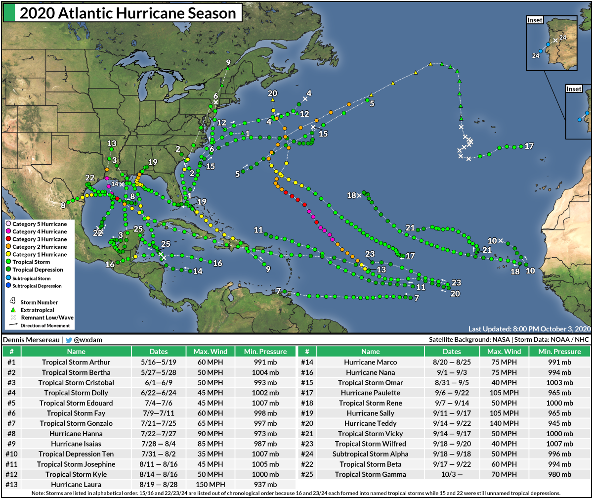
Eta is the 28th named storm of the 2020 Atlantic hurricane season, tying the all-time record of 28 storms seen back in 2005.
Matching 2005’s record is a remarkable feat for a remarkable year. It’s tremendously difficult for the Atlantic basin to produce this many storms in one season. The previous all-time high was 20 storms back in 1933. Even hurricane seasons held in infamous regard like 1995 and the 2010-2012 stretch were only able to produce 19 storms each.
While 2005 stands alone for the sheer strength of the storms that formed that year—Dennis, Emily, Katrina, Rita, Wilma— this year saw its 28th storm nearly two full months before that historic season. The 28th named storm formed on December 30, 2005, so there’s a decent chance this year could break the record before it’s over.
The next three names on the list are the Greek letters Theta, Iota, and Kappa.
This is also the first time we’ve ever used the seventh Greek letter—Eta—to name a storm in the Atlantic.
The “missing” storm from the 2005 season was an unnamed subtropical storm that forecasters didn’t catch until they conducted their routine post-season analysis the following spring. If forecasters had caught the unnamed storm contemporaneously, it would’ve been called “Subtropical Storm Tammy” and every subsequent storm that formed after October 4, 2005, would’ve been pushed back one letter, making the final storm Eta instead of Zeta.
You can follow me on Twitter or send me an email.
Please consider subscribing to my Patreon. Your support helps me write engaging, hype-free weather coverage—no fretting over ad revenue, no chasing viral clicks. Just the weather.