Hurricane Elsa Approaching Tampa, Florida, As Storm Closes In On Landfall


Elsa is a hurricane again as it draws closer to its inevitable landfall north of Tampa, Florida, in the early morning hours on Wednesday. Strong winds, heavy rain, and tornadoes are likely across the Florida Peninsula and parts of the southeastern United States over the next couple of days as the storm pushes inland.
The National Hurricane Center‘s latest advisory found maximum sustained winds of 75 MPH near the center of the storm, bringing the storm to hurricane strength once again.
Hurricane warnings are in effect ahead of the storm’s landfall. Tropical storm watches and warnings stretch inland to the South Carolina Lowcountry.
It’s important to remember that there’s little practical difference between a 65-70 MPH tropical storm and a 75-80 MPH hurricane. They can each produce roughly the same wind/rain/tornado impacts.
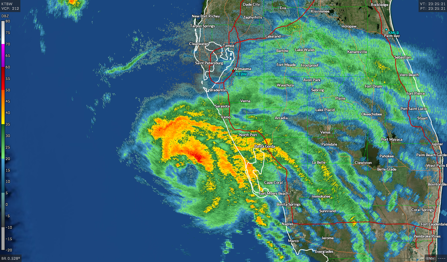
Forecasters expect the hurricane to make landfall north of Tampa along Florida’s Big Bend on Wednesday morning. Conditions will begin deteriorating around Tampa Bay on Tuesday evening as the core of the storm approaches from the south. The radar image above shows Elsa west of Punta Gorda around 7:30PM on Tuesday.

Elsa will pick up speed as it heads northeast through coastal portions of the southeastern United States, emerging off the Mid-Atlantic coast by the end of the week. The system could reach tropical storm strength again and swipe Cape Cod on Friday as it races toward Atlantic Canada. From there, the nor’easter-like storm will bring heavy rain and gusty winds to the Canadian Maritimes and Newfoundland this weekend.
Flash flooding from heavy rain is the greatest risk from this storm as it pushes inland. A moderate risk for flash flooding is in effect for a chunk of western Florida—including the Tampa area—as Elsa passes through.

Several inches of rain are possible across Florida, eastern Georgia, and eastern parts of the Carolinas through Thursday. If the storm nudges even a little farther to the west, the I-95 corridor into the Northeast would see greater odds of heavy rain and gusty winds on Friday.
Strong winds along Elsa’s path inland will lead to some wind damage near the core of the storm. Falling trees, scattered power outages, and light debris blowing around are the biggest threats from the wind. Stay mindful of any trees or tree limbs that loom over your house. Avoid those areas during the strong winds. Trees and limbs falling into homes is a major cause of injuries and deaths during a landfalling storm.
Tornadoes are a risk with any landfalling tropical cyclone. The wind shear on the eastern side of the storm can cause thunderstorms in the outer bands to turn into mini-supercells that can produce tornadoes. Tropical tornadoes happen quickly and the lead time is usually lower than it would be during a “normal” tornado threat.
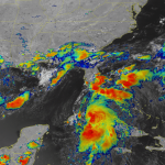
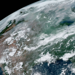
One peek at Elsa’s structure and it’s not hard to see why the storm made the short leap from a strong tropical storm to a minimal hurricane. The system consolidated thunderstorms around the center of circulation and it’s traversing the steamy waters of the eastern Gulf of Mexico.
The only thing that’s prevented further strengthening today is southwesterly shear that’s trying the best it can to tear the thunderstorms away from the circulation. The wind shear almost prevailed a few times—as evidenced by the center peeking out a few times during the day—but the storms have held tight, and Elsa’s persevered as a result.
[Top Image: NOAA | Satellite Loop: College of DuPage]
You can follow me on Twitter or send me an email.
Please consider subscribing to my Patreon. Your support helps me write engaging, hype-free weather coverage—no fretting over ad revenue, no chasing viral clicks. Just the weather.