Cold air damming brought Greensboro a wild one-hour temperature tango

The weather is pretty darn cool this time of year.
Huge storms romping across the U.S. drag down frigid air from Canada while sucking warm air up from the Gulf of Mexico. Fast-shifting winds spiraling around these sprawling lows can create huge temperature differences over short distances.
Not every sharp temperature gradient is a pure case of Canadian air spilling into the waning remnants of summer. Weather conditions in some parts of the U.S. can depend as much on topography as it does meteorology, and few areas set a better example than central North Carolina.
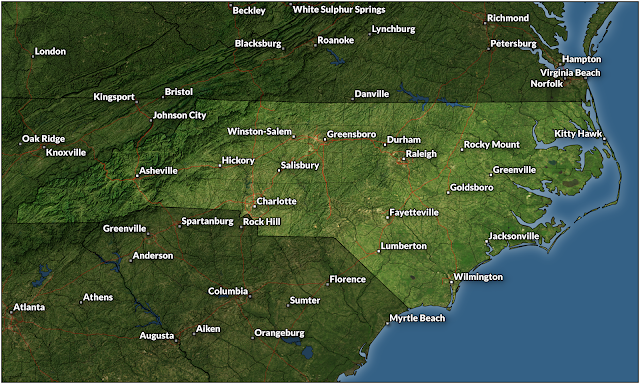
Greensboro, N.C., anchors the state’s Piedmont region. Sitting nearly smack-dab in the center of North Carolina, conditions in the Piedmont are often influenced by the Appalachian Mountains that gently rise over the western third of our state.
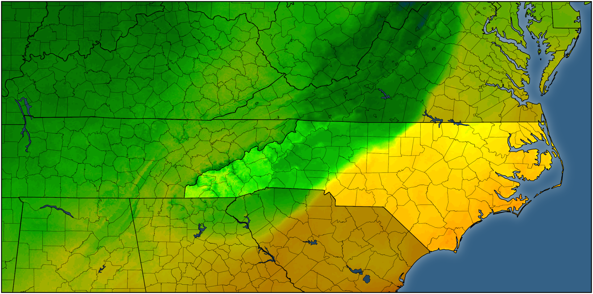
We feel this influence the most during the cool season through cold air damming. Chilly winds blowing in from the east or northeast smack against the side of the Appalachians like water held back by a dam. Cold air is dense, so the air can’t rise up and over to Tennessee even as warm southerly winds try to scour it out of the region.
Cold air damming is conspicuous on temperature maps, and it’s a major headache for forecasters during winter storms. Frigid air at the surface and warmer air a few thousand feet above ground level is a recipe for sleet and freezing rain—something we see in abundance around here.
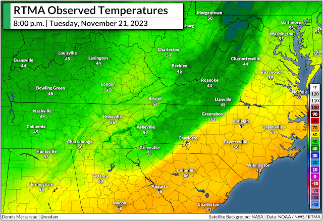
But for as tricky as cold air damming can be for precipitation forecasting, just predicting the hourly temperature can prove challenging during one of these setups.
We didn’t have to deal with any wintry weather on Tuesday, November 21, but a complex setup led to a wild temperature change in Greensboro over the course of just one hour.
A huge one-hour temperature bounce
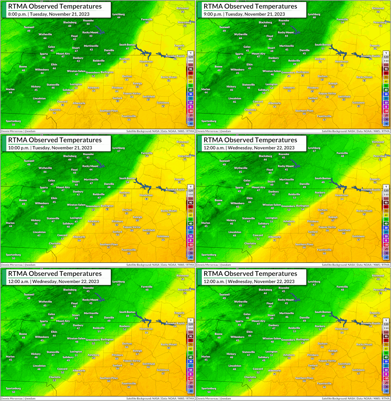
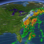
Tuesday saw a robust low-pressure system moving into the Great Lakes while a center of high pressure lingered over New England. Northeasterly winds funneled down the coast locked-in a nasty bout of cold air damming in the Piedmont.
Meanwhile, warm and humid southerly winds flowing into the region courtesy of that Great Lakes low tried their best to scour away the cold air at the surface. It didn’t quite work, so that incoming air just rose up and over to fuel a day-long downpour.
The raw and rainy conditions on Tuesday brought the region our first substantial rain in months, which helped dent a growing drought and quench a bevy of wildfires burning throughout the region.
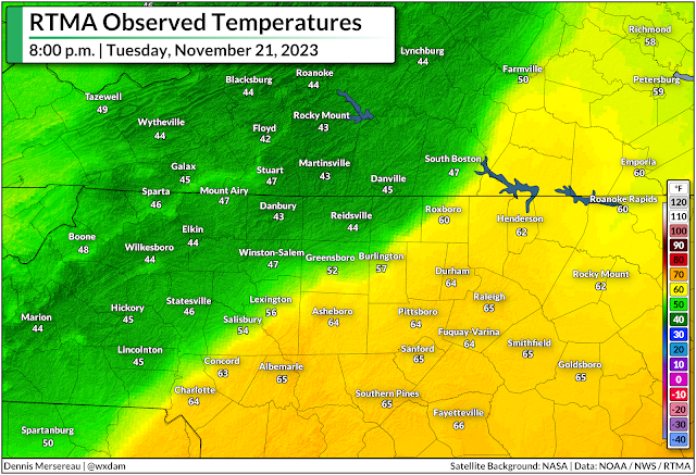
As the low over the Great Lakes dragged its cold front toward the Appalachians, a smaller center of low pressure developed on the eastern side of the Appalachians and tracked north into the N.C. Piedmont.
Enhanced southerly winds following that budding li’l area of low pressure lent a hand in trying to scour away the dam of cold air that had built up over the region on Tuesday. Persistence pays off, and communities right near the center of the low did see a significant temperature rise as it passed overhead.
Only briefly, though.
Very briefly.
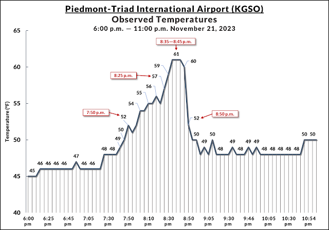
The temperature at Greensboro’s Piedmont-Triad Int’l Airport slowly rose from the mid-40s to around 52°F by 7:50 p.m. on Tuesday.
Temperatures fluctuated very fast over the next hour. We saw temperatures warm by one or two degrees every couple of minutes until they peaked at 61°F at 8:35 p.m., remaining there for just ten minutes before the main cold front came in and caused temperatures to plummet even faster than they rose.
Behind the cold front, the temperature at PTI Airport tumbled from 61°F to 52°F in just ten minutes, soon sagging back to around 50°F for the remainder of the night.
It’s not one of the more remarkable temperature swings we’ve ever seen—heck, there are towns on the Plains that can see a 40+ degree temperature drop in just an hour—but the complex circumstances that went into Greensboro’s one-hour temperature tango is a fascinating peek at how our vast atmosphere can produce big changes over tiny areas.